![]()
| Tikal Scientific Information Center |
| Tikal's Meteorological Information | Tikal's Hydrology | Tikal's Ecology | Tikal's Flora | Tikal's Fauna |
Hydrology of the Tikal National Park in Guatemala
The Central Peten region, in northern Guatemala, is dominated by low lying rolling hills of porous Oligocene* limestone. This accounts for the limited amount of permanent surface water, even during the rainy season, there are few surface streams.
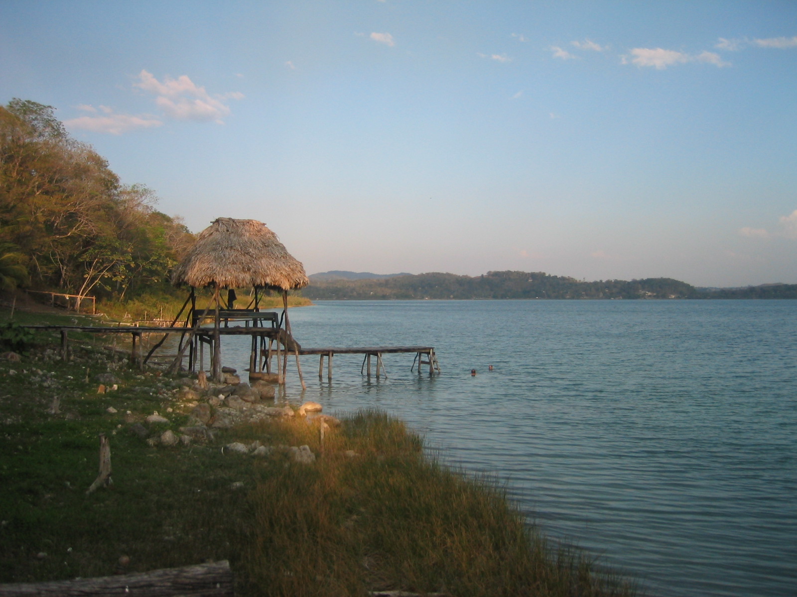
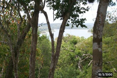
Most of the water consumed in Tikal in modern times is brought in to the park by means of cistern trucks and is brought in from Lake Peten Itza, the largest body of water in the Yucatan Peninsula, 33 kilometers or 15 miles south of the park. The lake is the only nearby source of permanent surface water in the neighboring area. Very few collection tanks are in service at Tikal. This is the reason you save water during your stay in Tikal.
Some people -including archaeologists who conducted the excavations at the park- used the water from the ancient aguadas or water reservoirs. However, these haven’t been maintained and the use of water from these reservoirs for human consumption is forbidden.

We found interesting information regarding the dimensions of the water reservoirs at Tikal so we calculated how many cubic meters and gallons the Maya of Tikal managed at each of their aguadas or water reservoris during the Maya’s Classic Period, at the height of their civilization's development. We are sharing our calculations with you as we believe it is truly amazing to try to grasp and understand the amount and volume of water the ancient Maya of Tikal managed at any given moment during the city's heyday...
|
NAME of TIKAL WATER RESERVOIR |
CUBIC METERS |
GALONS (U.S.) |
|
Palace Reservoir |
38,680 |
10,220,000 |
|
Temple Reservoir |
27,140 |
7,170,000 |
|
Tikal |
21,060 |
5,563,000 |
|
Corriental |
17,380 |
4,591,000 |
|
Inscriptions |
11,310 |
2,988,000 |
|
Causeways |
14,270 |
3,770,000 |
|
Bejucal |
7,380 |
1,950,000 |
|
Madeira |
6,340 |
1,675,000 |
|
Perdido |
3,070 |
811,000 |
|
Hidden |
2,620 |
692,100 |
|
Subin Aguada |
400 |
105,700 |
|
Las Chamacas |
350 |
92,460 |
|
Pital Aguada |
310 |
81,890 |
|
TOTAL |
150,220 |
39,685,283 |
*Oligocene:
A geologic epoch of the Paleogene Period that extends from about 33.9 million to 23 million years before the present time.

Hydrology: The scientific study of the properties, distribution and effects of water on the Earth's surface, in the soil and underlying rocks as well as in the atmosphere.
We hope you will enjoy www.tikalpark.com and its Spanish version www.parque-tikal.com
For reservations or more information write to us at tikalpark@tikalpark.com

| Home | Arts | Sciences | Transportation | Lodging | Special Tours | Birding Tours | Tours | Map | About Us | e-mail us | Site Map |